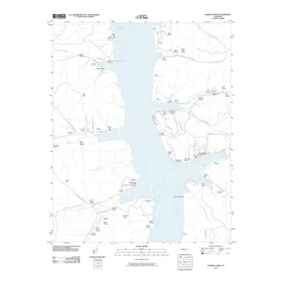
2010 Map of Harmon Creek
USGS Topo · Published 2010About this map
Kentucky Lake dominates this landscape, its waters filling the central valley and creating a complex shoreline of inlets and points. The terrain is defined by a dense network of hollows, such as Tanyard Hollow and Sesson Hollow, which feed into the primary waterways like the South Fork Harmon Creek and Turkey Creek. This environment supports a recreational and maritime economy evidenced by several small-scale developments including the Harmon Creek Resort and multiple access points like Little Crooked Creek Landing.
Find a feature on this map
95 named features on this map. Tap any name to fly to it.
Don’t see what you’re looking for? This feature index may not catch every label — zoom into the map to look around manually.
Map Details
Editions of this 2010 Harmon Creek Map
This is the sole edition of this map. No revisions or reprints were ever made.
Other maps of this area

1936 · Poplar Creek
USGS Topo · 1:24,000

1936 · McKinnon
USGS Topo · 1:24,000

1936 · Camden
USGS Topo · 1:24,000

1936 · Big Sandy
USGS Topo · 1:24,000

1936 · Stewart
USGS Topo · 1:24,000

1936 · Halls Creek
USGS Topo · 1:24,000

1936 · Johnsonville
USGS Topo · 1:24,000

1936 · Harmon Creek
USGS Topo · 1:24,000

1936 · Waverly
USGS Topo · 1:24,000

1949 · Harmon Creek
USGS Topo · 1:24,000