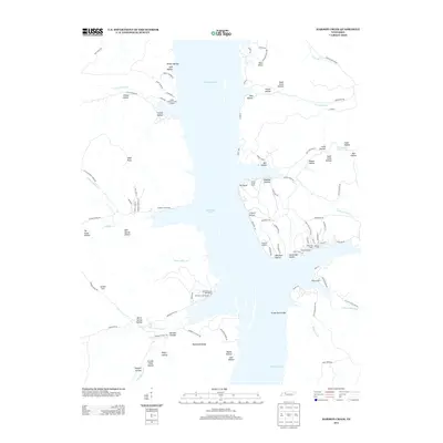
2013 Map of Harmon Creek
USGS Topo · Published 2013About this map
Kentucky Lake dominates the central corridor of this Tennessee landscape, where the waters of the Tennessee River basin meet an intricate network of inlets and hollows. The eastern shore is particularly dense with small-scale maritime infrastructure, including Clydeton Landing, Turkey Creek Dock, and Nobles Dock. These sites, along with Harmon Creek Resort, indicate a region deeply tied to seasonal recreation and river access.
Find a feature on this map
106 named features on this map. Tap any name to fly to it.
Don’t see what you’re looking for? This feature index may not catch every label — zoom into the map to look around manually.
Map Details
Editions of this 2013 Harmon Creek Map
This is the sole edition of this map. No revisions or reprints were ever made.
Other maps of this area

1936 · Poplar Creek
USGS Topo · 1:24,000

1936 · McKinnon
USGS Topo · 1:24,000

1936 · Camden
USGS Topo · 1:24,000

1936 · Big Sandy
USGS Topo · 1:24,000

1936 · Stewart
USGS Topo · 1:24,000

1936 · Halls Creek
USGS Topo · 1:24,000

1936 · Johnsonville
USGS Topo · 1:24,000

1936 · Harmon Creek
USGS Topo · 1:24,000

1936 · Waverly
USGS Topo · 1:24,000

1949 · Harmon Creek
USGS Topo · 1:24,000