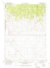
1959 Map of Harney
USGS Topo · Published 1975About this map
Fort Harney (Site) marks a significant historical anchor in the northeastern corner of this landscape, situated just below the southern boundary of the Malheur National Forest. The map captures a transition from the rugged highlands of Devine Ridge to the complex hydrological network of the valley floor. Water management is a primary theme of the era, evidenced by the Hanley Upper Canal and the meandering channels of the Silvies River and Poison Creek. Local infrastructure is well-defined by the Burns Airport and the tracks of the Union Pacific railroad. Genealogists and local historians can trace family-named landmarks like Petersen Spring, Embree, and Chapman, while terrain features such as Sand Hill and Foley Slough provide a detailed look at the region's natural drainage before significant modern development.
Find a feature on this map
49 named features on this map. Tap any name to fly to it.
Don’t see what you’re looking for? This feature index may not catch every label — zoom into the map to look around manually.
Map Details
Editions of this 1959 Harney Map
2 editions found
Other maps of this area

1955 · Burns
USGS Topo · 1:250,000

1958 · Burns
USGS Topo · 1:250,000

1959 · Burns
USGS Topo · 1:250,000

1959 · West Myrtle Butte
USGS Topo · 1:62,500

1959 · Harney
USGS Topo · 1:62,500

1959 · Dog Mountain
USGS Topo · 1:62,500

1959 · Lawen
USGS Topo · 1:62,500

1960 · Crane
USGS Topo · 1:62,500

1960 · Burns
USGS Topo · 1:62,500

1960 · Burns
USGS Topo · 1:24,000