
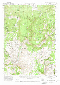
1959 Map of West Myrtle Butte
USGS Topo · Published 1960About this map
Malheur National Forest dominates the high-elevation landscape of this late 1950s survey, where the rugged timberlands of Grant and Harney counties meet. The map reveals a remote ranching economy defined by isolated outposts and seasonal mountain camps. Notable sites for family history include the Old Dole Smith Homestead and Peabody Homestead, alongside working operations like the H J Baker Ranch and Clemens Ranch.
Find a feature on this map
123 named features on this map. Tap any name to fly to it.
Don’t see what you’re looking for? This feature index may not catch every label — zoom into the map to look around manually.
Map Details
Editions of this 1959 West Myrtle Butte Map
2 editions found
Other maps of this area

1955 · Burns
USGS Topo · 1:250,000

1955 · Canyon City
USGS Topo · 1:250,000

1958 · Burns
USGS Topo · 1:250,000

1959 · Burns
USGS Topo · 1:250,000

1959 · Canyon City
USGS Topo · 1:250,000

1959 · Sawtooth Creek
USGS Topo · 1:62,500

1959 · Harney
USGS Topo · 1:62,500

1960 · Burns
USGS Topo · 1:62,500

1961 · Calamity Butte
USGS Topo · 1:62,500

1961 · Logdell
USGS Topo · 1:62,500