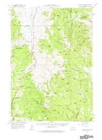
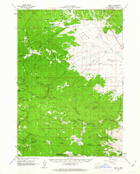
1961 Map of Calamity Butte
USGS Topo · Published 1963About this map
Idol City and its associated Idol City Mines sit within the high timber of the Malheur National Forest, where 1960s industry met the early recreational developments of Harney County. The Oregon and Northwestern Railroad bisects the western landscape, tracking the Silvies River and providing a vital transit link through the Silvies Valley Ranch area. This corridor supported timber and ranching operations, evidenced by markers for the Lowe Mill (Site) and a second Old Mill Site.
Find a feature on this map
121 named features on this map. Tap any name to fly to it.
Don’t see what you’re looking for? This feature index may not catch every label — zoom into the map to look around manually.
Map Details
Editions of this 1961 Calamity Butte Map
This is the sole edition of this map. No revisions or reprints were ever made.
Other maps of this area

1955 · Burns
USGS Topo · 1:250,000

1955 · Canyon City
USGS Topo · 1:250,000

1958 · Burns
USGS Topo · 1:250,000

1959 · Burns
USGS Topo · 1:250,000

1959 · Canyon City
USGS Topo · 1:250,000
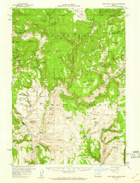
1959 · West Myrtle Butte
USGS Topo · 1:62,500
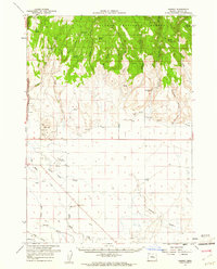
1959 · Harney
USGS Topo · 1:62,500
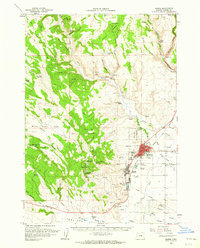
1960 · Burns
USGS Topo · 1:62,500
1961 · Logdell
USGS Topo · 1:62,500
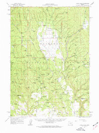
1961 · Logan Valley
USGS Topo · 1:62,500