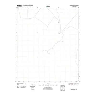
2010 Map of Harriet Ranch
USGS Topo · Published 2010About this map
Jornada del Muerto defines the arid character of this high-desert basin in Socorro County. This 2010 survey illustrates the remote ranching and transit infrastructure established within a landscape famously known for its scarcity of water and challenging travel conditions. The central feature is the Harriet Ranch Headquarters, which stands as a localized hub of activity amidst the expanse. Further north, the map identifies Lava Station, a point along the transportation corridor that serves the region's sparse network of roads. The layout of section lines and isolated landmarks provides a clear view of how large-scale land management and ranching operations are organized in the New Mexico interior during the early 21st century.
Find a feature on this map
3 named features on this map. Tap any name to fly to it.
Don’t see what you’re looking for? This feature index may not catch every label — zoom into the map to look around manually.
Map Details
Editions of this 2010 Harriet Ranch Map
This is the sole edition of this map. No revisions or reprints were ever made.
Other maps of this area

1916 · Salinas Peak
USGS Topo · 1:125,000

1948 · Granjean Well
USGS Topo · 1:62,500

1948 · Val Verde
USGS Topo · 1:62,500

1948 · Malpais Well
USGS Topo · 1:62,500

1948 · Salinas Peak
USGS Topo · 1:62,500

1954 · Tularosa
USGS Topo · 1:250,000

1958 · Tularosa
USGS Topo · 1:250,000

1981 · Granjean Well
USGS Topo · 1:24,000

1981 · Tularosa
USGS Topo · 1:100,000
1981 · Blakemore Well
USGS Topo · 1:24,000