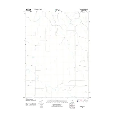
2012 Map of Harrington
USGS Topo · Published 2012About this map
Harrington stands at the eastern edge of this Bennett County landscape, situated within a vast grid of section roads typical of the Great Plains. The Little White River meanders through the southern and western portions of the quadrangle, carving a low-relief valley across the otherwise open prairie. This 2012 survey captures the area at a time when traditional rural routes like Antelope Rd and various numbered avenues, such as 238th Ave and 242nd Ave, provide the primary framework for local movement. The map illustrates a pattern of sparse settlement and wide-open spaces, characteristic of south-central South Dakota near the Nebraska border, where the river remains the most significant natural feature among the organized agricultural blocks.
Find a feature on this map
11 named features on this map. Tap any name to fly to it.
Don’t see what you’re looking for? This feature index may not catch every label — zoom into the map to look around manually.
Map Details
Editions of this 2012 Harrington Map
This is the sole edition of this map. No revisions or reprints were ever made.
Other maps of this area

1955 · Martin
USGS Topo · 1:250,000

1958 · Martin
USGS Topo · 1:250,000

1969 · Eagle Mans Butte
USGS Topo · 1:24,000

1969 · Spring Creek SW
USGS Topo · 1:24,000

1969 · Iron Shell Flat West
USGS Topo · 1:24,000

1981 · Blackpipe
USGS Topo · 1:25,000

1981 · Scotchman Lake
USGS Topo · 1:25,000

1981 · Tuthill
USGS Topo · 1:25,000

1983 · Martin
USGS Topo · 1:100,000
2012 · Scotchman Lake
USGS Topo · 1:24,000