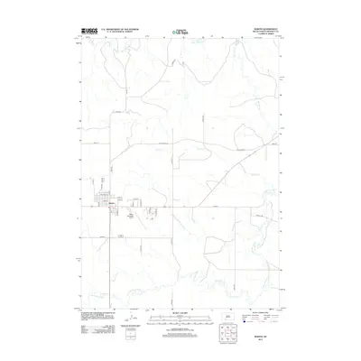
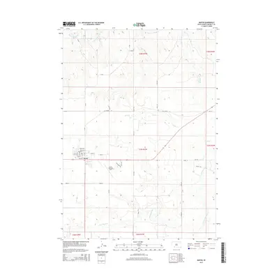
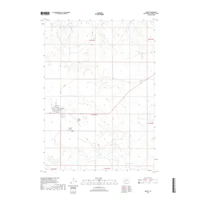
1983 Map of Martin
USGS Topo · Published 1983About this map
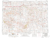
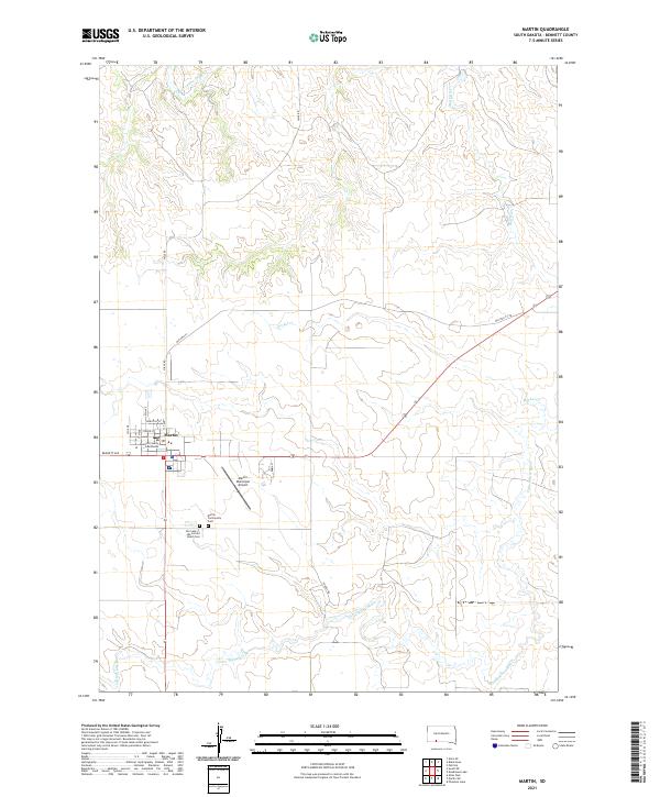
Pine Ridge Indian Reservation lands dominate this expansive 1983 look at Bennett County and its neighbors, where the northern Great Plains are defined by the convergence of tribal history and conservation. The landscape is punctuated by prominent landmarks such as Eagle Nest Butte and Buzzard Butte, overlooking a network of creek beds including Bear-in-the-Lodge Creek and Eagle Nest Creek. In the southern reaches, the Lacreek National Wildlife Refuge centers around Lacreek Lake and a series of smaller bodies like Muskrat Lake and Phantom Lake, establishing a critical hydrological hub for the region.
Find a feature on this map
66 named features on this map. Tap any name to fly to it.
Don’t see what you’re looking for? This feature index may not catch every label — zoom into the map to look around manually.
Map Details
Editions of this 1983 Martin Map
This is the sole edition of this map. No revisions or reprints were ever made.
Historical Maps of Rosebud Through Time
8 maps found