1952 Map of Conata SE
USGS Topo · Published 1952About this map
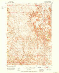
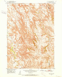
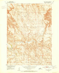
The Pine Ridge Indian Reservation occupies this landscape in the early 1950s, characterized by a complex drainage system within Jackson County. Water is the primary defining feature of the terrain, with Potato Creek and Little Dog Creek carving through the northern sections, while Indian Creek and Bull Creek flow through the central and southern reaches. The map reveals the infrastructure of the Missouri River Basin development era, focusing on the hydraulic patterns of the land before significant modern alterations.
Find a feature on this map
8 named features on this map. Tap any name to fly to it.
Don’t see what you’re looking for? This feature index may not catch every label — zoom into the map to look around manually.
Map Details
Editions of this 1952 Conata SE Map
2 editions found
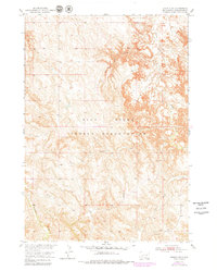
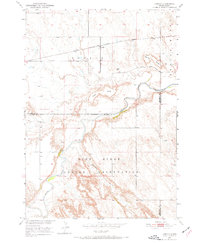
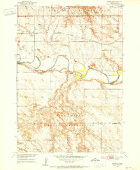
Other maps of this area
1950 · Conata
USGS Topo · 1:24,000
1950 · Interior
USGS Topo · 1:24,000
1950 · Conata SW
USGS Topo · 1:24,000
1950 · Potato Creek
USGS Topo · 1:24,000
1952 · Conata NE
USGS Topo · 1:24,000

1952 · Conata
USGS Topo · 1:24,000

1955 · Hot Springs
USGS Topo · 1:250,000

1955 · Martin
USGS Topo · 1:250,000

1958 · Martin
USGS Topo · 1:250,000

1980 · Kadoka
USGS Topo · 1:100,000