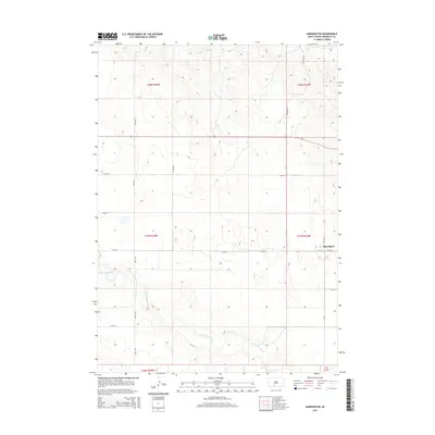
2015 Map of Harrington
USGS Topo · Published 2015About this map
Harrington stands at the intersection of Cr-16 and 292nd St in this section of Bennett County, where the high plains meet the winding course of the Little White River. This survey illustrates the rigid Public Land Survey System grid that defines the South Dakota landscape, with miles of straight section roads like 238th Ave and Antelope Rd cutting across the terrain. The river itself creates a striking contrast to the rectilinear property lines, carving a meandering path through the southern half of the quadrangle. The map captures a moment in the mid-2010s when this rural region maintained its agricultural character, structured by the townships of t37n r33w and t37n r34w. Historians can trace the exact layout of county routes and local access roads that connect these isolated prairie homesteads to the small settlement hub.
Find a feature on this map
18 named features on this map. Tap any name to fly to it.
Don’t see what you’re looking for? This feature index may not catch every label — zoom into the map to look around manually.
Map Details
Editions of this 2015 Harrington Map
This is the sole edition of this map. No revisions or reprints were ever made.
Other maps of this area

1955 · Martin
USGS Topo · 1:250,000

1958 · Martin
USGS Topo · 1:250,000

1969 · Eagle Mans Butte
USGS Topo · 1:24,000

1969 · Spring Creek SW
USGS Topo · 1:24,000

1969 · Iron Shell Flat West
USGS Topo · 1:24,000

1981 · Blackpipe
USGS Topo · 1:25,000

1981 · Scotchman Lake
USGS Topo · 1:25,000

1981 · Tuthill
USGS Topo · 1:25,000

1983 · Martin
USGS Topo · 1:100,000
2012 · Scotchman Lake
USGS Topo · 1:24,000