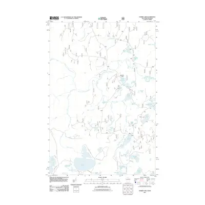
2011 Map of Harris Lake
USGS Topo · Published 2011About this map
Harris Lake and its surrounding wetlands anchor this northern Wisconsin landscape in a region defined by an intricate network of glacial lakes and waterways. The West Branch Presque Isle River and Little Presque Isle River snake through the terrain, connecting a dense cluster of named water bodies including Grant Lake, Moraine Lake, and the uniquely named Twin Pups Lakes. This 2011 survey reveals a landscape largely dedicated to seasonal recreation and forestry, evidenced by the Henry Lake Campground and a network of specialized routes like Logging Rd and Mouse Trap Rd.
Find a feature on this map
55 named features on this map. Tap any name to fly to it.
Don’t see what you’re looking for? This feature index may not catch every label — zoom into the map to look around manually.
Map Details
Editions of this 2011 Harris Lake Map
This is the sole edition of this map. No revisions or reprints were ever made.
Other maps of this area

1939 · Trout Lake
USGS Topo · 1:48,000

1939 · Winchester
USGS Topo · 1:48,000

1946 · Winchester
USGS Topo · 1:48,000

1946 · Trout Lake
USGS Topo · 1:48,000

1949 · Trout Lake
USGS Topo · 1:48,000

1955 · Marenisco
USGS Topo · 1:62,500

1955 · Boulder Junction
USGS Topo · 1:62,500

1955 · Winchester
USGS Topo · 1:62,500

1955 · Marenisco
USGS Topo · 1:24,000

1955 · Wakefield
USGS Topo · 1:24,000