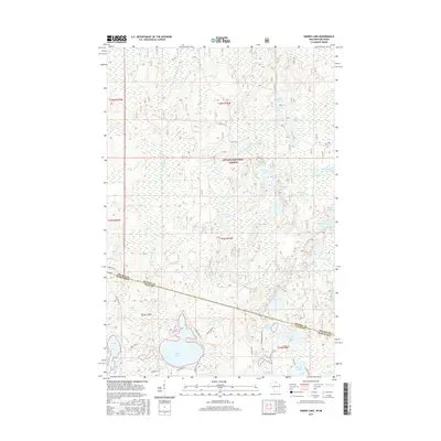
2015 Map of Harris Lake
USGS Topo · Published 2015About this map
Harris Lake and the surrounding borderlands of Wisconsin and Michigan define this Northwoods landscape, where the Gogebic Co Vilas Co line meets the state boundary. This 2015 survey details a dense network of glacial water bodies and wetlands, including the unique Presque Isle River Flooding and the headwaters of the Little Presque Isle River. The northern portion of the quadrangle is dominated by the Ottawa National Forest, while the southern area shows more modern residential development along Lakeshore Dr and E Harris Lake Rd.
Find a feature on this map
54 named features on this map. Tap any name to fly to it.
Don’t see what you’re looking for? This feature index may not catch every label — zoom into the map to look around manually.
Map Details
Editions of this 2015 Harris Lake Map
This is the sole edition of this map. No revisions or reprints were ever made.
Other maps of this area

1939 · Trout Lake
USGS Topo · 1:48,000

1939 · Winchester
USGS Topo · 1:48,000

1946 · Winchester
USGS Topo · 1:48,000

1946 · Trout Lake
USGS Topo · 1:48,000

1949 · Trout Lake
USGS Topo · 1:48,000

1955 · Marenisco
USGS Topo · 1:62,500

1955 · Boulder Junction
USGS Topo · 1:62,500

1955 · Winchester
USGS Topo · 1:62,500

1955 · Marenisco
USGS Topo · 1:24,000

1955 · Wakefield
USGS Topo · 1:24,000