
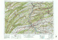
1892 Map of Harrisburg
USGS Topo · Published 1892This historical map portrays the area of Harrisburg in 1892, primarily covering Dauphin County as well as portions of Perry County and Cumberland County. Featuring a scale of 1:62500, this map provides a highly detailed snapshot of the terrain, roads, buildings, counties, and historical landmarks in the Harrisburg region at the time. Published in 1892, it is one of 2 known editions of this map due to revisions or reprints.
Find a feature on this map
82 named features on this map. Tap any name to fly to it.
Don’t see what you’re looking for? This feature index may not catch every label — zoom into the map to look around manually.
Map Details
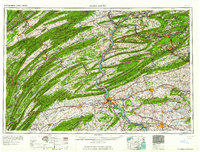
Editions of this 1892 Harrisburg Map
2 editions found
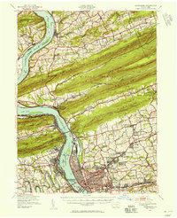
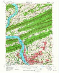
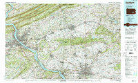
Historical Maps of Wayne Township Through Time
10 maps found
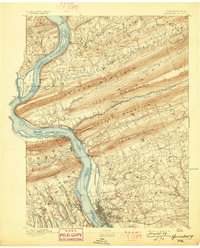
1892 Harrisburg
Dauphin County, PA
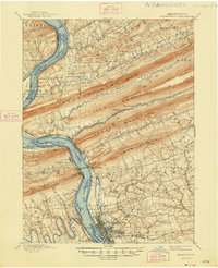
1899 Harrisburg
Dauphin County, PA

1924 Harrisburg
Dauphin County, PA
1943 Harrisburg
Dauphin County, PA

1950 Harrisburg
Dauphin County, PA
1956 Harrisburg
Dauphin County, PA
1957 Harrisburg
Dauphin County, PA
1961 Harrisburg
Dauphin County, PA

1964 Harrisburg
Dauphin County, PA
1984 Harrisburg
Dauphin County, PA
Featured Locations
- Harrisburg, PA
- Progress, Susquehanna Township
- Enola, East Pennsboro Township
- Colonial Park, Lower Paxton Township
- Linglestown, Lower Paxton Township