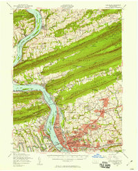
1956 Map of Harrisburg
USGS Topo · Published 1958About this map
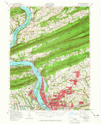
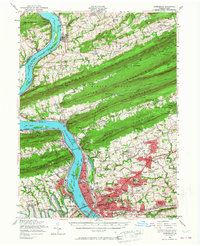
Harrisburg anchors the southern edge of this mid-century landscape, where the wide Susquehanna River cuts through the sequential ridges of the Appalachian Mountains. The map reveals the intricate infrastructure of the state capital, including the massive Rockville Bridge and the sprawling State Farm Show Bldg, alongside established residential areas like Penbrook and Paxtang. North of the city, the terrain is dominated by the parallel lines of Blue Mountain, Second Mountain, and Third Mountain, with the Appalachian Trail following the crest of Peters Mountain.
Find a feature on this map
151 named features on this map. Tap any name to fly to it.
Don’t see what you’re looking for? This feature index may not catch every label — zoom into the map to look around manually.
Map Details
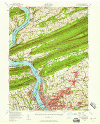
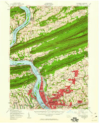
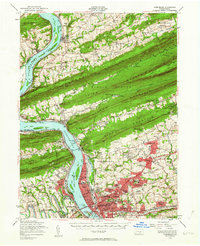
Editions of this 1956 Harrisburg Map
6 editions found
Other maps of this area

1892 · Lykens
USGS Topo · 1:62,500

1892 · Hummelstown
USGS Topo · 1:62,500

1892 · Harrisburg
USGS Topo · 1:62,500

1893 · Lykens
USGS Topo · 1:62,500

1893 · Millersburg
USGS Topo · 1:62,500

1899 · Harrisburg
USGS Topo · 1:62,500

1904 · Carlisle
USGS Topo · 1:62,500

1906 · New Cumberland
USGS Topo · 1:62,500

1907 · New Bloomfield
USGS Topo · 1:62,500

1907 · Millerstown
USGS Topo · 1:62,500
Featured Places
- Harrisburg, PA
- Colonial Park, Lower Paxton Township
- Progress, Susquehanna Township
- Linglestown, Lower Paxton Township
- Enola, East Pennsboro Township