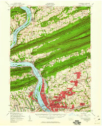
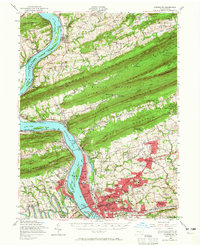
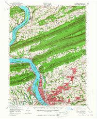
1956 Map of Harrisburg
USGS Topo · Published 1960About this map
The Susquehanna River dominates this mid-century Pennsylvania landscape, serving as a massive conduit for transportation and a backdrop for the state's seat of power. The State Capitol and the densely developed neighborhoods of Harrisburg are set against the striking geological staircase of Blue Mountain, Second Mountain, and Peters Mountain. This topography dictated the path of the Pennsylvania and Reading railroads, which converge at the massive Rockville Bridge, once the longest stone masonry arch railroad viaduct in the world.
Find a feature on this map
159 named features on this map. Tap any name to fly to it.
Don’t see what you’re looking for? This feature index may not catch every label — zoom into the map to look around manually.
Map Details
Editions of this 1956 Harrisburg Map
6 editions found
Other maps of this area

1892 · Lykens
USGS Topo · 1:62,500

1892 · Hummelstown
USGS Topo · 1:62,500

1892 · Harrisburg
USGS Topo · 1:62,500

1893 · Lykens
USGS Topo · 1:62,500

1893 · Millersburg
USGS Topo · 1:62,500

1899 · Harrisburg
USGS Topo · 1:62,500

1904 · Carlisle
USGS Topo · 1:62,500

1906 · New Cumberland
USGS Topo · 1:62,500

1907 · New Bloomfield
USGS Topo · 1:62,500

1907 · Millerstown
USGS Topo · 1:62,500
Featured Places
- Harrisburg, PA
- Colonial Park, Lower Paxton Township
- Progress, Susquehanna Township
- Linglestown, Lower Paxton Township
- Enola, East Pennsboro Township