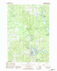
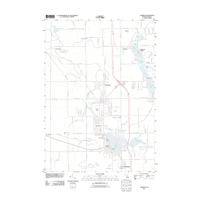
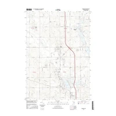
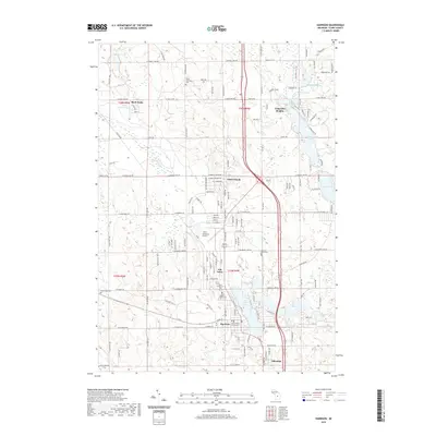
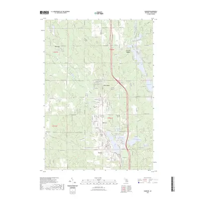
1983 Map of Harrison
USGS Topo · Published 1984About this map
The city of Harrison serves as the focal point of this 1980s-era survey, positioned at the nexus of a landscape defined by glacial lakes and the expansive Au Sable State Forest. The town's layout is well-documented, featuring municipal landmarks such as City Hall, the County Fairground, and the local High Sch. Genealogists will find a high density of burial sites nearby, including Maple Grove Cem, St Athanasius Cem, and the Pleasant Plains Cem situated east of the Harrison Airport.
Find a feature on this map
62 named features on this map. Tap any name to fly to it.
Don’t see what you’re looking for? This feature index may not catch every label — zoom into the map to look around manually.
Map Details
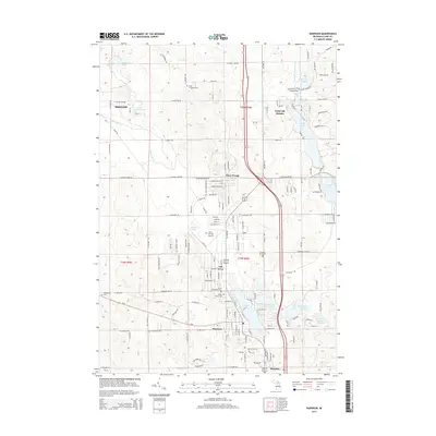
Editions of this 1983 Harrison Map
This is the sole edition of this map. No revisions or reprints were ever made.
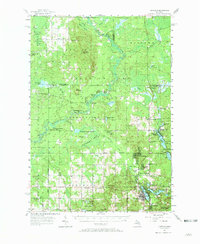
Historical Maps of Harrison Through Time
7 maps found
Featured Locations
- Frost Township, MI
- Greenwood Township, MI
- Harrison, MI
- Hayes Township, MI
- Long Lake Heights, Frost Township