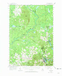
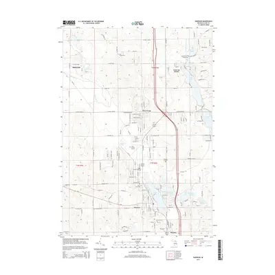
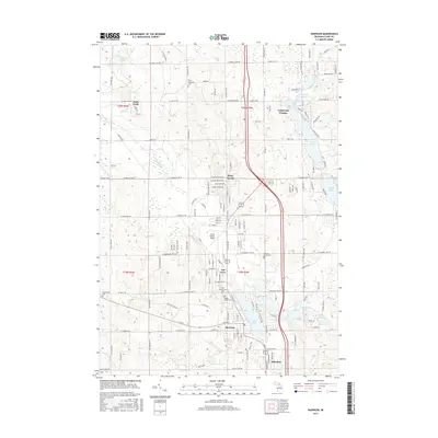
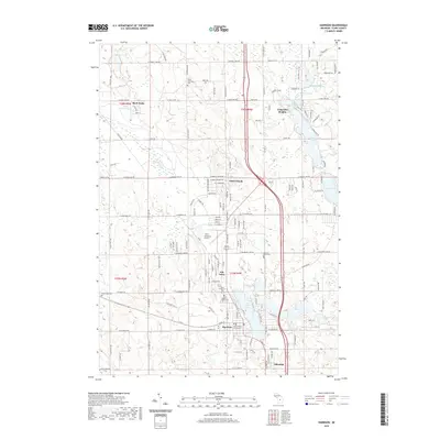
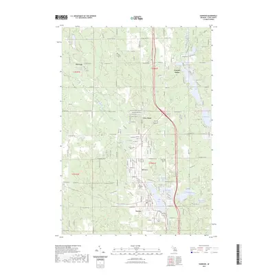
1957 Map of Harrison
USGS Topo · Published 1973About this map
The Muskegon River meanders through this mid-century landscape of Central Michigan, defining a region where the logging era transitioned into oil and gas exploration. The northern reaches are characterized by significant wetlands like the Vanderwal Swamp and Modders Swamp, while the southern portion centers on the community of Harrison. This survey documents the intersection of rural life and early industrial infrastructure, showing the Cranberry Lake Oil and Gas Storage Field and the Winterfield Oil and Gas Storage Field established within the state forest boundaries.
Find a feature on this map
91 named features on this map. Tap any name to fly to it.
Don’t see what you’re looking for? This feature index may not catch every label — zoom into the map to look around manually.
Map Details
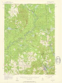
Editions of this 1957 Harrison Map
2 editions found
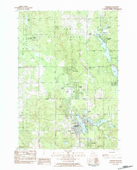
Historical Maps of Harrison Through Time
7 maps found
Featured Locations
- Roscommon Township, MI
- Winterfield Township, MI
- Frost Township, MI
- Harrison, MI
- Rainbow Bend, Summerfield Township