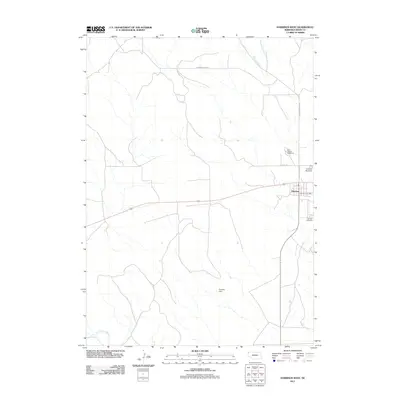
2011 Map of Harrison West
USGS Topo · Published 2011About this map
Harrison stands as the primary settlement on this Nebraska High Plains landscape, situated at a transition between the northern canyon drainages and the southern river basin. In the northeastern corner, the headwaters of Monroe Creek and East Monroe Creek carve through the terrain, tracked by Monroe Canyon Rd as they flow toward the rugged breaks beyond the quadrangle boundary. The town serves as a local hub for Sioux County, containing essential community markers such as the Harrison Post Office, Harrison Cemetery, and the Sioux County Fairground.
Find a feature on this map
12 named features on this map. Tap any name to fly to it.
Don’t see what you’re looking for? This feature index may not catch every label — zoom into the map to look around manually.
Map Details
Editions of this 2011 Harrison West Map
This is the sole edition of this map. No revisions or reprints were ever made.
Other maps of this area

1954 · Torrington
USGS Topo · 1:250,000

1955 · Alliance
USGS Topo · 1:250,000

1957 · Alliance
USGS Topo · 1:250,000

1958 · Torrington
USGS Topo · 1:250,000

1958 · Alliance
USGS Topo · 1:250,000

1977 · Van Tassell
USGS Topo · 1:24,000

1977 · Van Tassell SE
USGS Topo · 1:24,000

1978 · Harrison West
USGS Topo · 1:24,000

1978 · Kirtley
USGS Topo · 1:24,000

1979 · Harrison SE
USGS Topo · 1:24,000