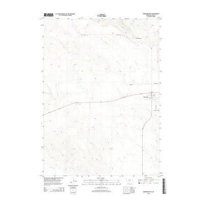
2014 Map of Harrison West
USGS Topo · Published 2014About this map
Harrison serves as the focal point of this High Plains landscape, situated along the northern reach of the Nebraska Panhandle. The town's grid is clearly defined by local thoroughfares such as 2nd St and 3rd St, with Cemetary Rd leading south toward the Harrison Cem. The surrounding topography is marked by significant drainage systems, including the Monroe Canyon where Monroe Cr and E Monroe Cr originate, cutting through the high ridges.
Find a feature on this map
15 named features on this map. Tap any name to fly to it.
Don’t see what you’re looking for? This feature index may not catch every label — zoom into the map to look around manually.
Map Details
Editions of this 2014 Harrison West Map
This is the sole edition of this map. No revisions or reprints were ever made.
Other maps of this area

1954 · Torrington
USGS Topo · 1:250,000

1955 · Alliance
USGS Topo · 1:250,000

1957 · Alliance
USGS Topo · 1:250,000

1958 · Torrington
USGS Topo · 1:250,000

1958 · Alliance
USGS Topo · 1:250,000

1977 · Van Tassell
USGS Topo · 1:24,000

1977 · Van Tassell SE
USGS Topo · 1:24,000

1978 · Harrison West
USGS Topo · 1:24,000

1978 · Kirtley
USGS Topo · 1:24,000

1979 · Harrison SE
USGS Topo · 1:24,000