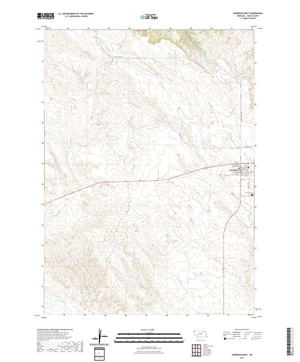
2021 Map of Harrison West
USGS Topo · Published 2021About this map
Harrison serves as the focal point of this Sioux County survey, positioned at the junction of the area's primary road network. The town's grid is well-defined by streets such as Main St and Grace St, housing the prominent Sioux County Courthouse. To the southeast, the Harrison Cem marks the edge of the community before the landscape transitions into the drainage basins of the Niobrara River and Monroe Cr.
Find a feature on this map
21 named features on this map. Tap any name to fly to it.
Don’t see what you’re looking for? This feature index may not catch every label — zoom into the map to look around manually.
Map Details
Editions of this 2021 Harrison West Map
This is the sole edition of this map. No revisions or reprints were ever made.
Other maps of this area

1954 · Torrington
USGS Topo · 1:250,000

1955 · Alliance
USGS Topo · 1:250,000

1957 · Alliance
USGS Topo · 1:250,000

1958 · Torrington
USGS Topo · 1:250,000

1958 · Alliance
USGS Topo · 1:250,000

1977 · Van Tassell
USGS Topo · 1:24,000

1977 · Van Tassell SE
USGS Topo · 1:24,000

1978 · Harrison West
USGS Topo · 1:24,000

1978 · Kirtley
USGS Topo · 1:24,000

1979 · Harrison SE
USGS Topo · 1:24,000