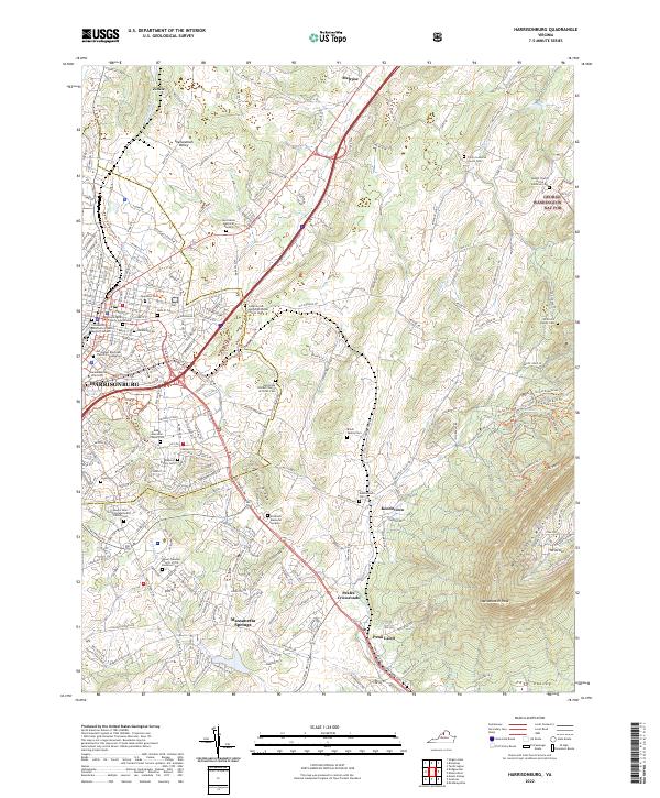
2022 Map of Harrisonburg
USGS Topo · Published 2022About this map
The Shenandoah Valley floor rises toward the prominent heights of Massanutten Mountain in this 2022 survey, which captures the urban expansion and historical layers of the region. Harrisonburg serves as the focal point, with the sprawling campus of James Madison University and the Rockingham County Courthouse anchoring the city's core. The landscape transitions from dense municipal development to the academic and residential corridors surrounding Newman Lake, eventually giving way to the agricultural and recreational lands of the George Washington Nat For.
Find a feature on this map
63 named features on this map. Tap any name to fly to it.
Don’t see what you’re looking for? This feature index may not catch every label — zoom into the map to look around manually.
Map Details
Editions of this 2022 Harrisonburg Map
This is the sole edition of this map. No revisions or reprints were ever made.
Other maps of this area

1892 · Woodstock
USGS Topo · 1:125,000

1892 · Harrisonburg
USGS Topo · 1:125,000

1937 · Elkton
USGS Topo · 1:62,500

1941 · Harrisonburg
USGS Topo · 1:62,500

1942 · Mt Jackson
USGS Topo · 1:62,500

1943 · Harrisonburg
USGS Topo · 1:62,500

1946 · Mt Jackson
USGS Topo · 1:62,500

1947 · Mt Jackson
USGS Topo · 1:62,500

1947 · Broadway
USGS Topo · 1:62,500

1949 · Charlottesville
USGS Topo · 1:250,000