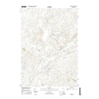
2016 Map of Harrisville
USGS Topo · Published 2016About this map
The West Branch Oswegatchie River flows through the heart of this landscape, anchoring the settlement of Harrisville where the river turns southward. This 2016 survey captures a region defined by its waterway network and scattered small communities like Pitcairn, Backus, and Geers Corners. The geography is marked by numerous ponds and hills, including Beaver Lake, Cooper Hill, and Baldface Hill, which provide a sense of the undulating terrain typical of this part of New York.
Find a feature on this map
71 named features on this map. Tap any name to fly to it.
Don’t see what you’re looking for? This feature index may not catch every label — zoom into the map to look around manually.
Map Details
Editions of this 2016 Harrisville Map
This is the sole edition of this map. No revisions or reprints were ever made.
Other maps of this area

1913 · Lake Bonaparte
USGS Topo · 1:62,500

1915 · Gouverneur
USGS Topo · 1:62,500

1915 · Russell
USGS Topo · 1:62,500

1916 · Lake Bonaparte
USGS Topo · 1:62,500

1916 · Oswegatchie
USGS Topo · 1:62,500

1918 · Russell
USGS Topo · 1:62,500

1918 · Oswegatchie
USGS Topo · 1:62,500

1937 · Gouverneur
USGS Topo · 1:62,500

1948 · Ogdensburg
USGS Topo · 1:250,000

1951 · Ogdensburg
USGS Topo · 1:250,000