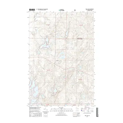
2015 Map of Hart Lake
USGS Topo · Published 2015About this map
Glacial kettle lakes and dense woodlands of the Chequamegon National Forest define this pocket of Bayfield County. The landscape is dominated by an intricate network of water bodies, from the sprawling Long Lake and Hart Lake to smaller, distinctively named features like Silver Sack Lake, Bladder Lake, and Five Island Lake. The small settlement of Topside serves as a central landmark, situated near Wentzel Lake and Topside Lake. Mapping of this area reveals a remote character primarily accessed by Forest Service routes such as Forest Rd 242 and Forest Rd 234. Genealogists and local historians will find the Valley View Cem in the northwest corner, along with family-named roads like Bailey Lake Rd and Hahn Rd, which provide clues to early land use and residency in the Northwoods during the early 21st century.
Find a feature on this map
97 named features on this map. Tap any name to fly to it.
Don’t see what you’re looking for? This feature index may not catch every label — zoom into the map to look around manually.
Map Details
Editions of this 2015 Hart Lake Map
This is the sole edition of this map. No revisions or reprints were ever made.
Other maps of this area

1943 · Iron Lake
USGS Topo · 1:48,000

1944 · Moquah
USGS Topo · 1:48,000

1944 · Drummond
USGS Topo · 1:48,000

1944 · Grandview
USGS Topo · 1:48,000

1947 · Drummond
USGS Topo · 1:48,000

1947 · Moquah
USGS Topo · 1:48,000

1947 · Iron Lake
USGS Topo · 1:48,000

1947 · Grandview
USGS Topo · 1:48,000

1953 · Ashland
USGS Topo · 1:250,000

1958 · Ashland
USGS Topo · 1:250,000