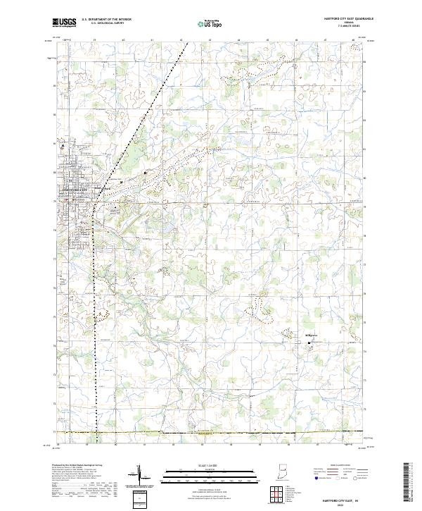
2022 Map of Hartford City West
USGS Topo · Published 2022About this map
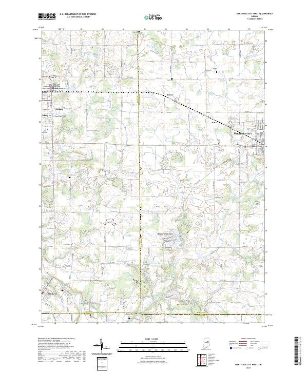
Taylor University stands as a central landmark in this portion of Blackford and Grant counties, anchoring the town of Upland. The landscape is a complex network of agricultural drainage systems, evidenced by numerous named waterways like Hollis Ditch, Jefferson Ditch, and Casterline Forkner Ditch. These man-made and modified channels illustrate the long-term engineering required to manage the wetlands of East Central Indiana for farming. To the south, the Mississinewa River cuts through the corner near Matthews, providing a natural contrast to the grid-heavy township lines. The cluster of residential development at Shamrock Lakes and the rural community of Renner further define the regional settlement patterns. Genealogists will find a significant number of family and community burial grounds, including Mills Cem, Shields Cem, and the Olive Branch Cem near the southern boundary.
Find a feature on this map
155 named features on this map. Tap any name to fly to it.
Don’t see what you’re looking for? This feature index may not catch every label — zoom into the map to look around manually.
Map Details
Editions of this 2022 Hartford City West Map
This is the sole edition of this map. No revisions or reprints were ever made.
Historical Maps of Upland Through Time
6 maps found