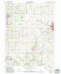
1960 Map of Hartford City West
USGS Topo · Published 1994About this map
The Pennsylvania railroad corridor cuts across this landscape of East Central Indiana, connecting the industrial hub at Hartford City with the academic campus of Taylor University in Upland. The terrain is defined by a dense network of drainage engineering, with features like Moore Ditch, Fiddler Ditch, and Forkner Ditch carving through the agricultural fields to manage the low-lying basin of Lick Creek. To the south, the Mississinewa River meanders near the town of Matthews, providing a natural boundary near the intersection of several township lines.
Find a feature on this map
48 named features on this map. Tap any name to fly to it.
Don’t see what you’re looking for? This feature index may not catch every label — zoom into the map to look around manually.
Map Details
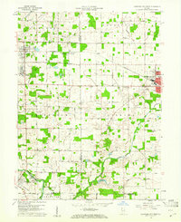
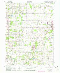
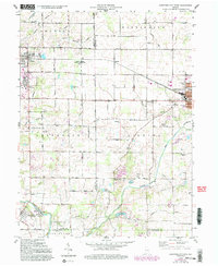
Editions of this 1960 Hartford City West Map
5 editions found
Other maps of this area

1953 · Muncie
USGS Topo · 1:250,000

1956 · Muncie
USGS Topo · 1:250,000

1960 · Hartford City East
USGS Topo · 1:24,000

1960 · Eaton
USGS Topo · 1:24,000

1960 · Wheeling
USGS Topo · 1:24,000

1960 · Gas City
USGS Topo · 1:24,000

1960 · Gaston
USGS Topo · 1:24,000

1960 · Hartford City West
USGS Topo · 1:24,000

1962 · Montpelier
USGS Topo · 1:24,000

1962 · Roll
USGS Topo · 1:24,000