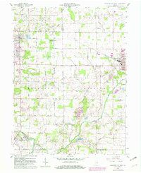
1960 Map of Hartford City West
USGS Topo · Published 1982About this map
The Taylor University campus and its surroundings in Upland define the western edge of this East Central Indiana landscape, captured during a period of steady institutional and agricultural growth. To the north, the Miller Purdue Agricultural Center reflects the region's commitment to scientific farming. The terrain is crisscrossed by the Conrail rail line, which served as a vital freight corridor connecting the residential blocks of Hartford City to the smaller communities of Renner and Matthews.
Find a feature on this map
42 named features on this map. Tap any name to fly to it.
Don’t see what you’re looking for? This feature index may not catch every label — zoom into the map to look around manually.
Map Details
Editions of this 1960 Hartford City West Map
5 editions found
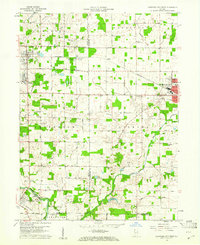
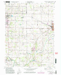
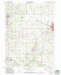
Other maps of this area

1953 · Muncie
USGS Topo · 1:250,000

1956 · Muncie
USGS Topo · 1:250,000

1960 · Hartford City East
USGS Topo · 1:24,000

1960 · Eaton
USGS Topo · 1:24,000

1960 · Wheeling
USGS Topo · 1:24,000

1960 · Gas City
USGS Topo · 1:24,000

1960 · Gaston
USGS Topo · 1:24,000

1960 · Hartford City West
USGS Topo · 1:24,000

1962 · Montpelier
USGS Topo · 1:24,000

1962 · Roll
USGS Topo · 1:24,000