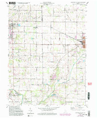
1960 Map of Hartford City West
USGS Topo · Published 1994About this map
Taylor University and the town of Upland anchor the northwestern corner of this Indiana landscape, where the agricultural traditions of the Midwest are clearly documented. The map details a transition from the structured street grid of Hartford City to the sprawling research fields of the Miller Purdue Agricultural Center. Rural life in the mid-20th century is mapped through a network of country churches like Union Ch and Pleasant Grove Ch, alongside numerous family burial grounds including Shields Cem and Mills Cem.
Find a feature on this map
47 named features on this map. Tap any name to fly to it.
Don’t see what you’re looking for? This feature index may not catch every label — zoom into the map to look around manually.
Map Details
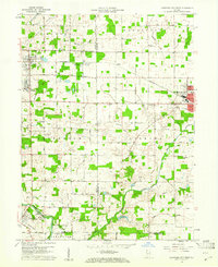
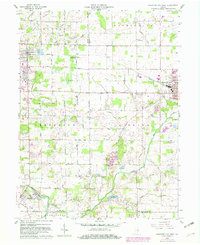
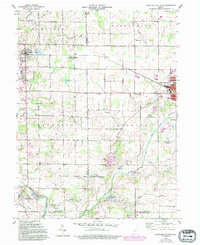
Editions of this 1960 Hartford City West Map
5 editions found
Other maps of this area

1953 · Muncie
USGS Topo · 1:250,000

1956 · Muncie
USGS Topo · 1:250,000

1960 · Hartford City East
USGS Topo · 1:24,000

1960 · Eaton
USGS Topo · 1:24,000

1960 · Wheeling
USGS Topo · 1:24,000

1960 · Gas City
USGS Topo · 1:24,000

1960 · Gaston
USGS Topo · 1:24,000

1960 · Hartford City West
USGS Topo · 1:24,000

1962 · Montpelier
USGS Topo · 1:24,000

1962 · Roll
USGS Topo · 1:24,000