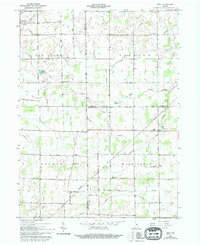
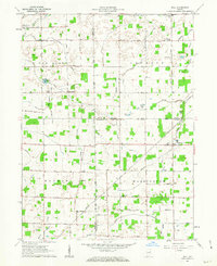
1962 Map of Roll
USGS Topo · Published 1994About this map
Roll and the surrounding agricultural townships of eastern Indiana are meticulously documented in this 1960s-era topographic study. The landscape is defined by a dense network of drainage engineering, including the Sweetser Ditch, Enoch Lee DITCH, and Monroe Ditch, which converted the natural wetlands into productive farmland. Small crossroads settlements like Farrville and Arcana anchor the rural community, while the presence of the Old R. R. Grade through the center of the map indicates the shifting transportation priorities of the mid-20th century. For genealogists, the map is a vital resource, locating several small family and community burial grounds such as Doyle Cem, Balsley Cem, and Stoll Cem, along with local landmarks like Oak Chapel and the Township Sch. Natural features like Owl Creek and Spiker Lake remain interspersed between the surveyed field lines.
Find a feature on this map
51 named features on this map. Tap any name to fly to it.
Don’t see what you’re looking for? This feature index may not catch every label — zoom into the map to look around manually.
Map Details
Editions of this 1962 Roll Map
3 editions found

Other maps of this area

1950 · Warren
USGS Topo · 1:24,000

1950 · Mount Etna
USGS Topo · 1:24,000

1951 · Mount Etna
USGS Topo · 1:24,000

1952 · Warren
USGS Topo · 1:24,000

1953 · Muncie
USGS Topo · 1:250,000

1956 · Muncie
USGS Topo · 1:250,000

1960 · Hartford City East
USGS Topo · 1:24,000

1960 · Gas City
USGS Topo · 1:24,000

1960 · Hartford City West
USGS Topo · 1:24,000

1962 · Montpelier
USGS Topo · 1:24,000