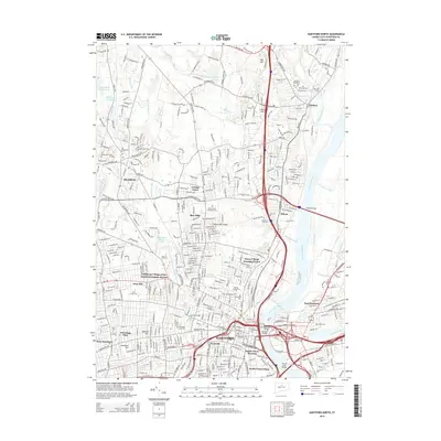
2015 Map of Hartford North
USGS Topo · Published 2015About this map
The Connecticut River serves as the primary geographic corridor through this urban and suburban landscape, where the state capital of Hartford meets its northern neighbors. This 2015 record details the complex residential and institutional patterns of the region, from the Stowe Village Housing Project and Dutch Point Colony to the expansive University of Hartford campus. History is deeply etched into the city's surface through a significant number of burial grounds, including the historic Old North Cemetery, the Ancient Cemetery, and Saint Patrick's Cemetery.
Find a feature on this map
63 named features on this map. Tap any name to fly to it.
Don’t see what you’re looking for? This feature index may not catch every label — zoom into the map to look around manually.
Map Details
Editions of this 2015 Hartford North Map
This is the sole edition of this map. No revisions or reprints were ever made.
Other maps of this area

1892 · Hartford
USGS Topo · 1:62,500

1892 · Meriden
USGS Topo · 1:62,500

1892 · Granby
USGS Topo · 1:62,500

1893 · Middletown
USGS Topo · 1:62,500

1893 · Meriden
USGS Topo · 1:62,500

1906 · Farmington
USGS Topo · 1:125,000

1928 · Windsor Locks
USGS Topo · 1:24,000

1928 · Windsor
USGS Topo · 1:24,000

1928 · Glastonbury
USGS Topo · 1:24,000

1928 · Broad Brook
USGS Topo · 1:24,000