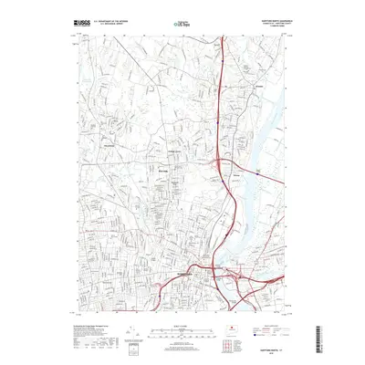
2018 Map of Hartford North
USGS Topo · Published 2018About this map
Hartford stands at the center of this 2018 survey, where the Connecticut River meets a complex network of smaller waterways including Meadow Brook and the North Branch Park River. The urban core is marked by its historic civic and religious geography, including the Ancient Burying Ground and Old North Cem. These burial sites, alongside numerous others like Mount Saint Benedict Cem and Latimer Hill Cem, provide a dense record of the region's long-established communities and families.
Find a feature on this map
56 named features on this map. Tap any name to fly to it.
Don’t see what you’re looking for? This feature index may not catch every label — zoom into the map to look around manually.
Map Details
Editions of this 2018 Hartford North Map
This is the sole edition of this map. No revisions or reprints were ever made.
Other maps of this area

1892 · Hartford
USGS Topo · 1:62,500

1892 · Meriden
USGS Topo · 1:62,500

1892 · Granby
USGS Topo · 1:62,500

1893 · Middletown
USGS Topo · 1:62,500

1893 · Meriden
USGS Topo · 1:62,500

1906 · Farmington
USGS Topo · 1:125,000

1928 · Windsor Locks
USGS Topo · 1:24,000

1928 · Windsor
USGS Topo · 1:24,000

1928 · Glastonbury
USGS Topo · 1:24,000

1928 · Broad Brook
USGS Topo · 1:24,000