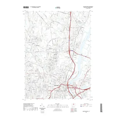
2021 Map of Hartford North
USGS Topo · Published 2021About this map
The Connecticut River serves as the central artery for this 2021 landscape, defining the corridor between Hartford and Windsor. Modern bridge infrastructure like the Bulkeley Bridge and Founders Bridge connects the urban center to the eastern shores, while the Riverfront Trail System outlines the western bank. The area is dense with historical sites of interest to genealogists, specifically several early burial grounds including the Ancient Burying Ground and Old North Cem. Educational and civic authority is concentrated near the river, shown through the locations of the Hartford Seminary, the University of Hartford, and the Connecticut Supreme Court. To the north and west, the terrain rises toward Metacomet Ridge and Cook Hill, while the lower elevations are marked by the confluence of several tributaries like the North Branch Park River and the Podunk River.
Find a feature on this map
60 named features on this map. Tap any name to fly to it.
Don’t see what you’re looking for? This feature index may not catch every label — zoom into the map to look around manually.
Map Details
Editions of this 2021 Hartford North Map
This is the sole edition of this map. No revisions or reprints were ever made.
Other maps of this area

1892 · Hartford
USGS Topo · 1:62,500

1892 · Meriden
USGS Topo · 1:62,500

1892 · Granby
USGS Topo · 1:62,500

1893 · Middletown
USGS Topo · 1:62,500

1893 · Meriden
USGS Topo · 1:62,500

1906 · Farmington
USGS Topo · 1:125,000

1928 · Windsor Locks
USGS Topo · 1:24,000

1928 · Windsor
USGS Topo · 1:24,000

1928 · Glastonbury
USGS Topo · 1:24,000

1928 · Broad Brook
USGS Topo · 1:24,000