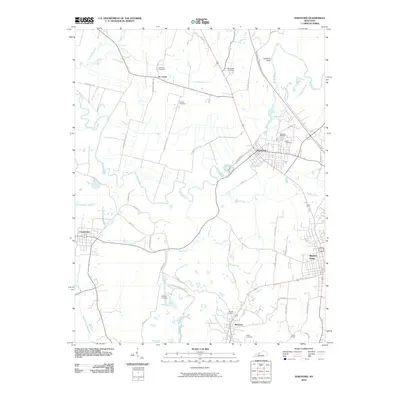
2010 Map of Hartford
USGS Topo · Published 2010About this map
Rough River meanders prominently through this portion of Ohio County, serving as a focal point for the settlement at Hartford. The landscape is a complex network of smaller tributaries including No Creek, Muddy Creek, and Render Creek, which define the local drainage patterns. To the south, the industrial heritage of the region is evident near McHenry and the Taylor Mines, where coal production has long influenced the local economy and land use.
Find a feature on this map
49 named features on this map. Tap any name to fly to it.
Don’t see what you’re looking for? This feature index may not catch every label — zoom into the map to look around manually.
Map Details
Editions of this 2010 Hartford Map
This is the sole edition of this map. No revisions or reprints were ever made.
Other maps of this area

1906 · Sutherland
USGS Topo · 1:62,500

1907 · Whitesville
USGS Topo · 1:62,500

1909 · Whitesville
USGS Topo · 1:62,500

1909 · Hartford
USGS Topo · 1:62,500

1909 · Central City
USGS Topo · 1:62,500

1952 · Equality
USGS Topo · 1:24,000

1953 · Central City East
USGS Topo · 1:24,000

1953 · Utica
USGS Topo · 1:24,000

1953 · Dundee
USGS Topo · 1:24,000

1953 · Pleasant Ridge
USGS Topo · 1:24,000