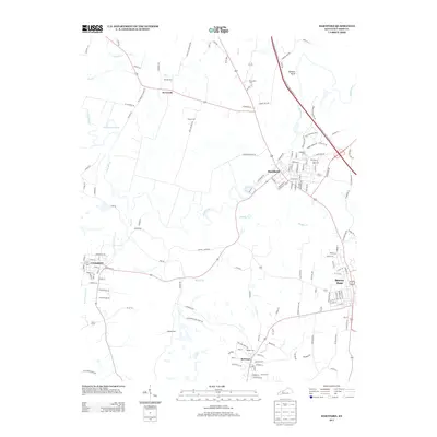
2013 Map of Hartford
USGS Topo · Published 2013About this map
Hartford and Beaver Dam anchor this central Ohio County landscape, where the Rough River winds through the northern terrain near Hawkers Bluff. The area's development is closely tied to its waterways and rural hubs like McHenry and Centertown. Genealogists will find a high concentration of burial sites, including Oakwood Cem, Haiti Cem, and Old Mill Cem, which speak to the deep-rooted family histories of these communities. The drainage pattern of McCormick Slough and Muddy Cr illustrates the low-lying nature of the river valley, while numerous secondary roads like Tichenor Rd and Mud College Rd provide access to the surrounding farms and smaller settlements. This survey captures a moment of modern continuity in a region where historical transit corridors and river crossings have long dictated the pace of local life.
Find a feature on this map
146 named features on this map. Tap any name to fly to it.
Don’t see what you’re looking for? This feature index may not catch every label — zoom into the map to look around manually.
Map Details
Editions of this 2013 Hartford Map
This is the sole edition of this map. No revisions or reprints were ever made.
Other maps of this area

1906 · Sutherland
USGS Topo · 1:62,500

1907 · Whitesville
USGS Topo · 1:62,500

1909 · Whitesville
USGS Topo · 1:62,500

1909 · Hartford
USGS Topo · 1:62,500

1909 · Central City
USGS Topo · 1:62,500

1952 · Equality
USGS Topo · 1:24,000

1953 · Central City East
USGS Topo · 1:24,000

1953 · Utica
USGS Topo · 1:24,000

1953 · Dundee
USGS Topo · 1:24,000

1953 · Pleasant Ridge
USGS Topo · 1:24,000