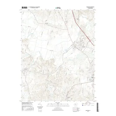
2016 Map of Hartford
USGS Topo · Published 2016About this map
Rough River winds through the heart of Ohio County, anchoring a landscape defined by historic coal mining and river-bottom agriculture. The corridor between Hartford and Beaver Dam reveals the modern layout of these established Kentucky communities, while the surrounding countryside preserves a dense network of family-history sites. Significant burial grounds such as Old Mill Cem, Render Cem, and Midway Cem are located near older settlements like No Creek and McHenry. To the west, the wetland environments of McCormick Slough and the confluence of Bens Lick and Muddy Cr illustrate the natural drainage patterns that have long shaped local land use. The presence of features like Hawkers Bluff and Alexander Cem provide specific points of interest for those tracing family lineages or studying the evolution of local transport and trade in the region.
Find a feature on this map
105 named features on this map. Tap any name to fly to it.
Don’t see what you’re looking for? This feature index may not catch every label — zoom into the map to look around manually.
Map Details
Editions of this 2016 Hartford Map
This is the sole edition of this map. No revisions or reprints were ever made.
Other maps of this area

1906 · Sutherland
USGS Topo · 1:62,500

1907 · Whitesville
USGS Topo · 1:62,500

1909 · Whitesville
USGS Topo · 1:62,500

1909 · Hartford
USGS Topo · 1:62,500

1909 · Central City
USGS Topo · 1:62,500

1952 · Equality
USGS Topo · 1:24,000

1953 · Central City East
USGS Topo · 1:24,000

1953 · Utica
USGS Topo · 1:24,000

1953 · Dundee
USGS Topo · 1:24,000

1953 · Pleasant Ridge
USGS Topo · 1:24,000