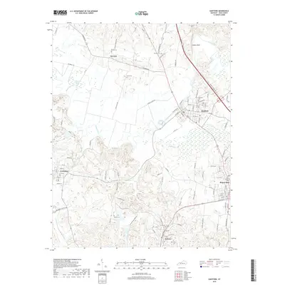
2019 Map of Hartford
USGS Topo · Published 2019About this map
Hartford and Beaver Dam anchor this detailed survey of Ohio County, Kentucky, where the landscape is defined by the winding course of the Rough River and its many tributaries. The area maintains a high density of small family and community burial grounds, such as Haiti Cem and Old Mill Cem, which offer significant value for genealogical research. The northern terrain is marked by Hawkers Bluff and the low-lying McGormick Slough, illustrating the varied topography between the established towns and the smaller settlement at No Creek. To the south, the community of McHenry sits near the banks of Render Cr, connected to the larger hubs by a network of rural routes like Beda Rd and Livermore Rd. This modern topographical study documents the spatial relationship between these historic river-valley settlements and the surrounding agricultural uplands.
Find a feature on this map
93 named features on this map. Tap any name to fly to it.
Don’t see what you’re looking for? This feature index may not catch every label — zoom into the map to look around manually.
Map Details
Editions of this 2019 Hartford Map
This is the sole edition of this map. No revisions or reprints were ever made.
Other maps of this area

1906 · Sutherland
USGS Topo · 1:62,500

1907 · Whitesville
USGS Topo · 1:62,500

1909 · Whitesville
USGS Topo · 1:62,500

1909 · Hartford
USGS Topo · 1:62,500

1909 · Central City
USGS Topo · 1:62,500

1952 · Equality
USGS Topo · 1:24,000

1953 · Central City East
USGS Topo · 1:24,000

1953 · Utica
USGS Topo · 1:24,000

1953 · Dundee
USGS Topo · 1:24,000

1953 · Pleasant Ridge
USGS Topo · 1:24,000