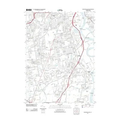
2012 Map of Hartford South
USGS Topo · Published 2012About this map
Cedar Mountain anchors the center of this landscape, dividing the dense suburban residential patterns of Elmwood and Newington Junction from the riverside settlements along the Connecticut River. The terrain is marked by a complex network of smaller waterways, including Trout Brook, Piper Brook, and Mill Brook, which define the low-lying areas between established neighborhoods like Saybrooke Village and Griswoldville. These water systems terminate near the river in features such as Wethersfield Cove and Keeney Cove, illustrating the long-standing maritime and agricultural orientation of the valley.
Find a feature on this map
71 named features on this map. Tap any name to fly to it.
Don’t see what you’re looking for? This feature index may not catch every label — zoom into the map to look around manually.
Map Details
Editions of this 2012 Hartford South Map
This is the sole edition of this map. No revisions or reprints were ever made.
Other maps of this area

1892 · Hartford
USGS Topo · 1:62,500

1892 · Meriden
USGS Topo · 1:62,500

1892 · Granby
USGS Topo · 1:62,500

1893 · Middletown
USGS Topo · 1:62,500

1893 · Meriden
USGS Topo · 1:62,500

1906 · Farmington
USGS Topo · 1:125,000

1928 · Cromwell
USGS Topo · 1:24,000

1928 · Windsor
USGS Topo · 1:24,000

1928 · Glastonbury
USGS Topo · 1:24,000

1928 · Manchester
USGS Topo · 1:24,000