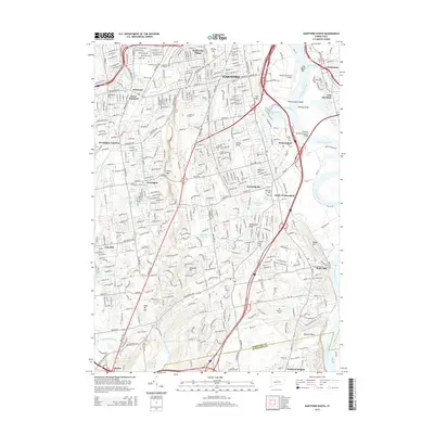
2015 Map of Hartford South
USGS Topo · Published 2015About this map
The Connecticut River defines the eastern boundary of this mid-decade landscape, where the shifting sands of Clay Banks Bar and Wethersfield Shoal meet the developed corridors of the Capitol Planning Region. In the northern reaches, the Hartford-Brainard Airport sits adjacent to the river, while the William Putnam Memorial Bridge links Wethersfield to East Hartford. The terrain transitions from the low-lying Wethersfield Cove to the prominent heights of Cedar Mtn and Metocomet Ridge, illustrating the diverse geography that shaped local development. For genealogists, the map is a dense record of burial sites, including the Old South Cem, Veterans Cem, and Hockanum Cem. From the residential pockets of Saybrooke Village and Elmwood to the industrial and transport hubs of Newington Junction, this survey captures the dense network of roads and waterways, such as Trout Brook and Piper Brook, that define the suburban character of the area south of Hartford.
Find a feature on this map
65 named features on this map. Tap any name to fly to it.
Don’t see what you’re looking for? This feature index may not catch every label — zoom into the map to look around manually.
Map Details
Editions of this 2015 Hartford South Map
This is the sole edition of this map. No revisions or reprints were ever made.
Other maps of this area

1892 · Hartford
USGS Topo · 1:62,500

1892 · Meriden
USGS Topo · 1:62,500

1892 · Granby
USGS Topo · 1:62,500

1893 · Middletown
USGS Topo · 1:62,500

1893 · Meriden
USGS Topo · 1:62,500

1906 · Farmington
USGS Topo · 1:125,000

1928 · Cromwell
USGS Topo · 1:24,000

1928 · Windsor
USGS Topo · 1:24,000

1928 · Glastonbury
USGS Topo · 1:24,000

1928 · Manchester
USGS Topo · 1:24,000