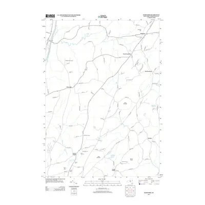
2013 Map of Hartford
USGS Topo · Published 2013About this map
The Champlain Canal cuts through the western edge of this Washington County landscape, tracing a historic water corridor past Smiths Basin. The region is defined by a series of agricultural settlements and family-named landmarks, including McWhorters Orchard, Silver Eagles Farm, and Goose Island Farm. These productive lands are situated between prominent elevations like Black Mountain and Todd Mountain, with the waters of Big Cr and Moses Kill draining the interior valleys.
Find a feature on this map
103 named features on this map. Tap any name to fly to it.
Don’t see what you’re looking for? This feature index may not catch every label — zoom into the map to look around manually.
Map Details
Editions of this 2013 Hartford Map
This is the sole edition of this map. No revisions or reprints were ever made.
Other maps of this area

1893 · Fort Ann
USGS Topo · 1:62,500

1895 · Cambridge
USGS Topo · 1:62,500

1895 · Fort Ann
USGS Topo · 1:62,500

1895 · Glens Falls
USGS Topo · 1:62,500

1897 · Glens Falls
USGS Topo · 1:62,500

1898 · Cambridge
USGS Topo · 1:62,500

1898 · Fort Ann
USGS Topo · 1:62,500

1900 · Schuylerville
USGS Topo · 1:62,500

1901 · Fort Ann
USGS Topo · 1:62,500

1901 · Cambridge
USGS Topo · 1:62,500