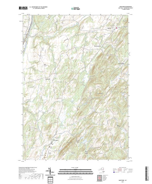
2023 Map of Hartford
USGS Topo · Published 2023About this map
Hartford serves as a central hub in this corner of Washington County, anchoring a landscape where agriculture and aviation meet along the valley floor. The terrain rises toward the east at Black Mountain and Mount Rascal, while the lowlands are defined by the winding course of Big Creek and the extensive Tamarack Swamp. Small settlements like South Hartford and East Hartford appear alongside local landmarks such as the Mountain View Airport and Argyle Airport, illustrating a modern rural infrastructure that still respects long-standing boundaries. Genealogists will find significant detail in the mapping of the Adamsville Cem, Old North Argyle Cem, and North Argyle Cem, which provide specific points of reference for tracing family histories in these historic hamlets. The proximity of North Argyle and Belcher highlights a pattern of dispersed but connected communities linked by local roads like Co RD 30 and Towpath RD.
Find a feature on this map
87 named features on this map. Tap any name to fly to it.
Don’t see what you’re looking for? This feature index may not catch every label — zoom into the map to look around manually.
Map Details
Editions of this 2023 Hartford Map
This is the sole edition of this map. No revisions or reprints were ever made.
Other maps of this area

1893 · Fort Ann
USGS Topo · 1:62,500

1895 · Cambridge
USGS Topo · 1:62,500

1895 · Fort Ann
USGS Topo · 1:62,500

1895 · Glens Falls
USGS Topo · 1:62,500

1897 · Glens Falls
USGS Topo · 1:62,500

1898 · Cambridge
USGS Topo · 1:62,500

1898 · Fort Ann
USGS Topo · 1:62,500

1900 · Schuylerville
USGS Topo · 1:62,500

1901 · Fort Ann
USGS Topo · 1:62,500

1901 · Cambridge
USGS Topo · 1:62,500