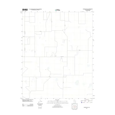
2012 Map of Hartley NE
USGS Topo · Published 2012About this map
Large-scale agricultural and ranching operations dominate this corner of the Texas Panhandle, where a precise grid of rural routes facilitates the movement of cattle and grain. This section of Hartley County is defined by its rectilinear organization, with primary arteries like Ranch Road 807 and Farm Road 3422 serving as the backbone for local commerce. Scattered across the landscape are numerous playa lakes, typical of the High Plains, appearing here as intermittent water features and depressions adjacent to the local road network. The map detail highlights the development of irrigation and land management in the early twenty-first century, tracing a network of secondary paths including Co Road G, Co Road K, and Road 41 that connect various homesteads and agricultural facilities.
Find a feature on this map
9 named features on this map. Tap any name to fly to it.
Don’t see what you’re looking for? This feature index may not catch every label — zoom into the map to look around manually.
Map Details
Editions of this 2012 Hartley NE Map
This is the sole edition of this map. No revisions or reprints were ever made.
Other maps of this area

1954 · Tucumcari
USGS Topo · 1:250,000

1954 · Dalhart
USGS Topo · 1:250,000

1958 · Tucumcari
USGS Topo · 1:250,000

1958 · Dalhart
USGS Topo · 1:250,000

1962 · Dalhart
USGS Topo · 1:250,000

1963 · Hartley SE
USGS Topo · 1:24,000

1963 · Hartley NE
USGS Topo · 1:24,000

1963 · Bird Ranch Store
USGS Topo · 1:24,000

1963 · Moran Ranch
USGS Topo · 1:24,000

1965 · Wilco
USGS Topo · 1:24,000