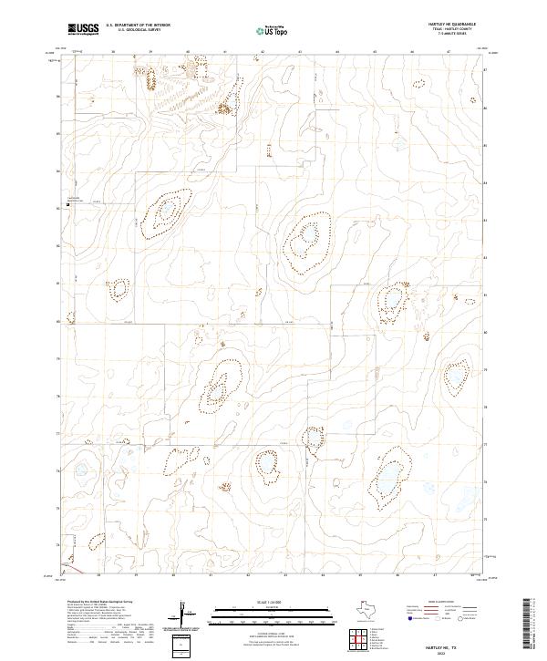
2022 Map of Hartley NE
USGS Topo · Published 2022About this map
Countryside Mennonite Cem sits at the intersection of Fm 807 and Co Rd G, serving as a primary local landmark in this expansive agricultural section of the Texas Panhandle. The landscape is defined by a grid of rural routes, including Gore Rd, Co Rd 43, and Fords Rd, which facilitate movement across the high plains. While modern paving such as Fm 3422 cuts through the territory, many smaller lanes like Artz Ln, Cole Ln, and Rafter J Rd suggest the enduring importance of individual ranching and farming tracts. The geography is characterized by numerous small, ephemeral depressions and basins that catch seasonal runoff, creating a distinct pattern of wetlands across the otherwise dry cattle and crop land of Hartley County.
Find a feature on this map
12 named features on this map. Tap any name to fly to it.
Don’t see what you’re looking for? This feature index may not catch every label — zoom into the map to look around manually.
Map Details
Editions of this 2022 Hartley NE Map
This is the sole edition of this map. No revisions or reprints were ever made.
Other maps of this area

1954 · Tucumcari
USGS Topo · 1:250,000

1954 · Dalhart
USGS Topo · 1:250,000

1958 · Tucumcari
USGS Topo · 1:250,000

1958 · Dalhart
USGS Topo · 1:250,000

1962 · Dalhart
USGS Topo · 1:250,000

1963 · Hartley SE
USGS Topo · 1:24,000

1963 · Hartley NE
USGS Topo · 1:24,000

1963 · Bird Ranch Store
USGS Topo · 1:24,000

1963 · Moran Ranch
USGS Topo · 1:24,000

1965 · Wilco
USGS Topo · 1:24,000