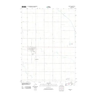
2010 Map of Hartley
USGS Topo · Published 2010About this map
Hartley anchors this northern Iowa landscape, appearing as a significant local hub defined by its gridded streets and the Hartley Post Office. The surrounding terrain of O'Brien County is strictly organized by a regular network of roads such as Vine Ave and Warbler Ave, illustrating the enduring influence of the Public Land Survey System on the region's agricultural layout. Local landmarks like the Pleasant View Cemetery and the Lambert Fechter Municipal Airport provide specific points of interest for genealogists and local historians. To the southeast, the small settlement of Moneta sits near the map's edge, while the natural drainage of the land is shaped by the Ocheyedan River and Sewer Creek. The presence of the Bruegmann Rea Access suggests areas dedicated to conservation and public land use amidst the expansive farmsteads of the early 21st century.
Find a feature on this map
23 named features on this map. Tap any name to fly to it.
Don’t see what you’re looking for? This feature index may not catch every label — zoom into the map to look around manually.
Map Details
Editions of this 2010 Hartley Map
This is the sole edition of this map. No revisions or reprints were ever made.
Other maps of this area

1954 · Fairmont
USGS Topo · 1:250,000

1958 · Fairmont
USGS Topo · 1:250,000

1964 · Plessis
USGS Topo · 1:24,000

1964 · Gaza
USGS Topo · 1:24,000

1970 · Hartley SW
USGS Topo · 1:24,000

1970 · Everly
USGS Topo · 1:24,000

1970 · Hartley
USGS Topo · 1:24,000

1970 · Royal
USGS Topo · 1:24,000

1970 · Lake Park SE
USGS Topo · 1:24,000

1970 · May City
USGS Topo · 1:24,000