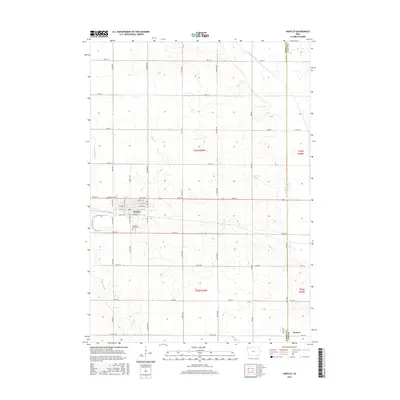
2015 Map of Hartley
USGS Topo · Published 2015About this map
Hartley anchors this portion of Northwest Iowa, where the grid of rural roads meets the residential streets of a classic prairie town. The layout of the settlement is detailed down to individual street names, including Main Blvd, while Pleasant View Cem lies just to the south. This landscape is defined by its agricultural drainage, with multiple waterways such as Sewer Cr, Waterman Cr, and Willow Cr carving gentle paths through the terrain. In the northeast corner, the Ocheyedan River crosses the landscape near the O'Brien and Clay County line. The small settlement of Moneta appears in the southeast, situated along 360th St. This 2015 survey provides a clear look at the contemporary road network and rural property divisions common to the region.
Find a feature on this map
33 named features on this map. Tap any name to fly to it.
Don’t see what you’re looking for? This feature index may not catch every label — zoom into the map to look around manually.
Map Details
Editions of this 2015 Hartley Map
This is the sole edition of this map. No revisions or reprints were ever made.
Other maps of this area

1954 · Fairmont
USGS Topo · 1:250,000

1958 · Fairmont
USGS Topo · 1:250,000

1964 · Plessis
USGS Topo · 1:24,000

1964 · Gaza
USGS Topo · 1:24,000

1970 · Hartley SW
USGS Topo · 1:24,000

1970 · Everly
USGS Topo · 1:24,000

1970 · Hartley
USGS Topo · 1:24,000

1970 · Royal
USGS Topo · 1:24,000

1970 · Lake Park SE
USGS Topo · 1:24,000

1970 · May City
USGS Topo · 1:24,000