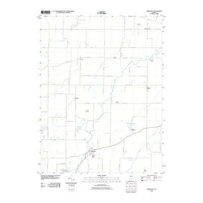
2010 Map of Hartsville
USGS Topo · Published 2010About this map
Hartsville sits at the convergence of several rural corridors in Bartholomew County, where the landscape is defined by the winding course of Clifty Creek and its many tributaries. This 2010 survey reveals a quiet agricultural region anchored by small settlements such as Rugby and Burney. The density of family and institutional burial grounds, including the Hartsville College Cemetery and the Galbraith Cemetery, points to a long-established community structure deeply tied to the land's hydrology.
Find a feature on this map
69 named features on this map. Tap any name to fly to it.
Don’t see what you’re looking for? This feature index may not catch every label — zoom into the map to look around manually.
Map Details
Editions of this 2010 Hartsville Map
This is the sole edition of this map. No revisions or reprints were ever made.
Other maps of this area

1942 · Columbus
USGS Topo · 1:125,000
1947 · Hope
USGS Topo · 1:24,000
1948 · Hope
USGS Topo · 1:24,000
1948 · Lewis Creek
USGS Topo · 1:24,000

1950 · Edinburg
USGS Topo · 1:62,500

1953 · Cincinnati
USGS Topo · 1:250,000
1956 · Waldron
USGS Topo · 1:24,000

1957 · Cincinnati
USGS Topo · 1:250,000
1958 · Westport
USGS Topo · 1:24,000
1958 · Forest Hill
USGS Topo · 1:24,000