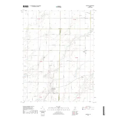
2019 Map of Hartsville
USGS Topo · Published 2019About this map
Hartsville and the surrounding tri-county borderlands of Bartholomew, Shelby, and Decatur counties define this 2019 survey. The landscape is characterized by a high density of rural burial grounds, including the Hartsville College Cem, Galbraith Cem, and Center Grove Cem, reflecting generations of settlement along the waterways. The drainage pattern of Clifty Creek and its various forks dictates the local topography, carving through the agricultural sections and providing a natural corridor between the small communities of Rugby and Burney. This modern topographic study preserves the placement of historic family plots such as the Pumphrey Cem and Mitchell Cem, offering a precise view of the region's cultural geography. The interplay of named county roads and meandering streams like Duck Cr illustrates the persistent rural character of this Indiana heartland.
Find a feature on this map
86 named features on this map. Tap any name to fly to it.
Don’t see what you’re looking for? This feature index may not catch every label — zoom into the map to look around manually.
Map Details
Editions of this 2019 Hartsville Map
This is the sole edition of this map. No revisions or reprints were ever made.
Other maps of this area

1942 · Columbus
USGS Topo · 1:125,000

1947 · Hope
USGS Topo · 1:24,000

1948 · Hope
USGS Topo · 1:24,000

1948 · Lewis Creek
USGS Topo · 1:24,000

1950 · Edinburg
USGS Topo · 1:62,500

1953 · Cincinnati
USGS Topo · 1:250,000

1956 · Waldron
USGS Topo · 1:24,000

1957 · Cincinnati
USGS Topo · 1:250,000

1958 · Westport
USGS Topo · 1:24,000

1958 · Forest Hill
USGS Topo · 1:24,000