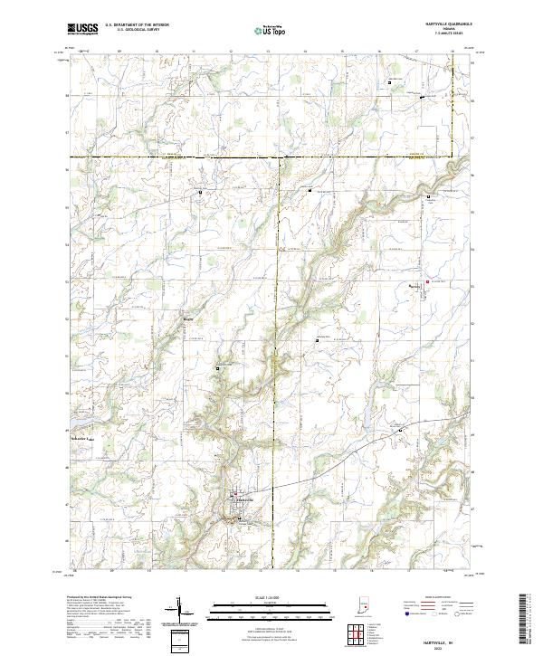
2022 Map of Hartsville
USGS Topo · Published 2022About this map
Hartsville serves as a focal point in this agricultural landscape where Bartholomew, Decatur, and Shelby counties converge. The town is notably home to the Hartsville College Cem, a site reflecting the community’s educational history. The terrain is defined by a dendritic network of waterways, including Clifty Creek, Duck Creek, and Fall Fork, which carve through the till plains.
Find a feature on this map
58 named features on this map. Tap any name to fly to it.
Don’t see what you’re looking for? This feature index may not catch every label — zoom into the map to look around manually.
Map Details
Editions of this 2022 Hartsville Map
This is the sole edition of this map. No revisions or reprints were ever made.
Other maps of this area

1942 · Columbus
USGS Topo · 1:125,000

1947 · Hope
USGS Topo · 1:24,000

1948 · Hope
USGS Topo · 1:24,000

1948 · Lewis Creek
USGS Topo · 1:24,000

1950 · Edinburg
USGS Topo · 1:62,500

1953 · Cincinnati
USGS Topo · 1:250,000

1956 · Waldron
USGS Topo · 1:24,000

1957 · Cincinnati
USGS Topo · 1:250,000

1958 · Westport
USGS Topo · 1:24,000

1958 · Forest Hill
USGS Topo · 1:24,000