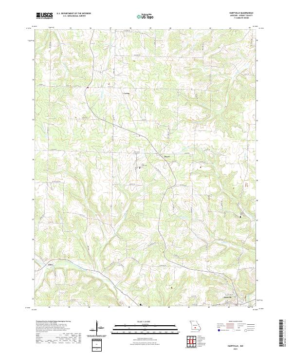
2021 Map of Hartville
USGS Topo · Published 2021About this map
The county seat of Hartville anchors the southeastern corner of this Missouri Ozarks landscape, where the Woods Fork Gasconade River winds through the terrain. The area is defined by a dense network of secondary roads and family-named routes, tracing the ridges and valleys between several small drainage basins. Smaller settlements and historic focal points like Loring and Odin are connected by these paths, which include the notable Old Niangua Rd.
Find a feature on this map
68 named features on this map. Tap any name to fly to it.
Don’t see what you’re looking for? This feature index may not catch every label — zoom into the map to look around manually.
Map Details
Editions of this 2021 Hartville Map
This is the sole edition of this map. No revisions or reprints were ever made.
Other maps of this area

1931 · Manes
USGS Topo · 1:48,000

1941 · Manes
USGS Topo · 1:62,500

1943 · Manes
USGS Topo · 1:62,500

1951 · Owens
USGS Topo · 1:24,000

1951 · Mansfield NE
USGS Topo · 1:24,000

1951 · Mansfield NW
USGS Topo · 1:24,000

1951 · Mountain Grove
USGS Topo · 1:62,500

1954 · Springfield
USGS Topo · 1:250,000

1956 · Duncan
USGS Topo · 1:24,000

1956 · Rader
USGS Topo · 1:24,000