
1956 Map of Duncan
USGS Topo · Published 1957About this map
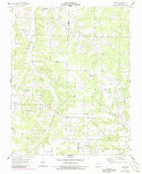
Duncan serves as a central hub in this mid-century portrait of rural Missouri, where the landscape is defined by the winding paths of Cantrell Creek and Hyde Creek. The map documents a vanishing era of decentralized community life, evidenced by the high density of neighborhood schools and churches scattered across the townships of Niangua, Union, and High Prairie. Notable educational landmarks like Sunrise Sch, Washington Sch, and Mt Dale Sch appear alongside local spiritual centers such as High Point Ch and Prospect Ch.
Find a feature on this map
27 named features on this map. Tap any name to fly to it.
Don’t see what you’re looking for? This feature index may not catch every label — zoom into the map to look around manually.
Map Details
Editions of this 1956 Duncan Map
2 editions found
Other maps of this area

1939 · Fordland
USGS Topo · 1:62,500

1942 · Fordland
USGS Topo · 1:62,500

1946 · Niangua
USGS Topo · 1:62,500

1948 · Niangua
USGS Topo · 1:62,500

1951 · Mansfield NE
USGS Topo · 1:24,000

1951 · Mansfield NW
USGS Topo · 1:24,000

1954 · Springfield
USGS Topo · 1:250,000

1956 · Rader
USGS Topo · 1:24,000
1956 · Hartville
USGS Topo · 1:24,000
1956 · Grovespring
USGS Topo · 1:24,000