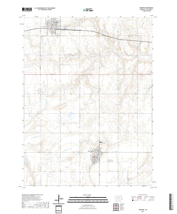
2021 Map of Harvard
USGS Topo · Published 2021About this map
The Clay County Courthouse in Clay Center serves as the focal point of this agricultural landscape in Clay County. This 2021 survey illustrates the grid-based settlement pattern of south-central Nebraska, where the street networks of Harvard and Clay Center are separated by miles of section-line roads and drainage systems. The map traces the winding paths of School Cr and Little Sandy Cr as they cut through the expansive fields, occasionally punctuated by man-made features like the Hultine Reservoir. In the northern part of the quadrangle, the town of Harvard maintains its historic street orientation, including S Depot St and W Beech St, reflecting its origins along the railway corridor. To the south, the Clay Center Cem and the county seat provide essential points of reference for genealogists and local historians documenting the late 20th and early 21st-century development of the region.
Find a feature on this map
30 named features on this map. Tap any name to fly to it.
Don’t see what you’re looking for? This feature index may not catch every label — zoom into the map to look around manually.
Map Details
Editions of this 2021 Harvard Map
This is the sole edition of this map. No revisions or reprints were ever made.
Other maps of this area

1898 · York
USGS Topo · 1:125,000

1898 · Superior
USGS Topo · 1:125,000

1898 · Hebron
USGS Topo · 1:125,000

1898 · Grand Island
USGS Topo · 1:125,000

1899 · York
USGS Topo · 1:125,000

1955 · Lincoln
USGS Topo · 1:250,000

1955 · Grand Island
USGS Topo · 1:250,000

1957 · Lincoln
USGS Topo · 1:250,000

1957 · Grand Island
USGS Topo · 1:250,000

1958 · Grand Island
USGS Topo · 1:250,000