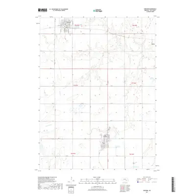
2017 Map of Harvard
USGS Topo · Published 2017About this map
Harvard sits at the northern edge of this Clay County landscape, where a dense grid of residential streets like N Harvard Ave and S Depot St meets the wide agricultural sections of the Nebraska plains. The map illustrates a highly organized township system, with arterial roads like North Ave and RD 319 carving the terrain into precise square-mile blocks. This geometry is only interrupted by the meandering paths of School Cr and Little Sandy Cr, which drain toward the southeast.
Find a feature on this map
57 named features on this map. Tap any name to fly to it.
Don’t see what you’re looking for? This feature index may not catch every label — zoom into the map to look around manually.
Map Details
Editions of this 2017 Harvard Map
This is the sole edition of this map. No revisions or reprints were ever made.
Other maps of this area

1898 · York
USGS Topo · 1:125,000

1898 · Superior
USGS Topo · 1:125,000

1898 · Hebron
USGS Topo · 1:125,000

1898 · Grand Island
USGS Topo · 1:125,000

1899 · York
USGS Topo · 1:125,000

1955 · Lincoln
USGS Topo · 1:250,000

1955 · Grand Island
USGS Topo · 1:250,000

1957 · Lincoln
USGS Topo · 1:250,000

1957 · Grand Island
USGS Topo · 1:250,000

1958 · Grand Island
USGS Topo · 1:250,000